Search
Use keywords to search across notebook descriptions

Use keywords to search across notebook descriptions
Description of boundaries of walk: on the north Fleur de Lis Street; on the east Commercial Street; on the south Whitechapel High Street; on the west Middlesex Street, Sandy's Road, Duke Street and...
Jews inhabitants in Fleur de Lis Street, Elder Street. Cockney Irish inhabitants of Blossom Street and Blossom Passage. Blossom Street, Blossom Place, Blossom Passage, Elder Street, Wheeler Street,...
Chapel Place, Spital Square, Spital Yard, Lamb Street, Lamb Court, Crispin Street, Brushfield Street.
Walk with Inspector Joseph Reid, District 8 [Aldgate, St George's-in- the-East, Shadwell], 7 March 1898.
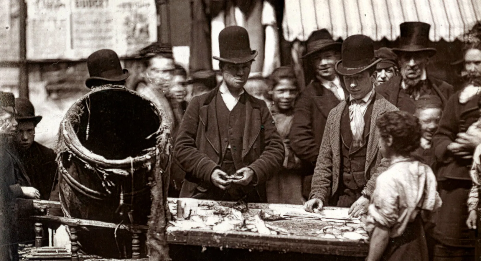
Walk with Sergeant French, District 7 [Mile End Old Town and Spitalfields], 18 March [1898] Includes: Numerous references to Jews living in the area.
Walk with Sergeant Charles Horatio French, District 7 [Mile End Old Town and Spitalfields], 21 March [1898] Includes: Numerous references to Jews living in area
Brothels in Osborn Place and Brick Lane.
Walk with Sergeant French, District 9 [Bethnal Green, North and South], 22 March [1898] Includes: Numerous references to Jews in the area.
Walk with Sergeant French, District 9 [Bethnal Green, North and South], 24 March [1898]
Walk with Inspector Reid, District 8 [Aldgate, St George's in the East, Shadwell], 8 March [1898]
Swedish Protestant Church in Princes Square. Used to be a Swedish colony; now Jews live in the square.
Walk with Sergeant French, District 9[?][Bethnal Green, North and South], 26 March [1898]
Walk with Inspector Barker, District 9 [Bethnal Green, North and South], 28 March [1898]
Walk with Inspector Barker, District 9 [Bethnal Green, North and South], 29 March [1898]
Walk with Inspector Reid, District 7 [Mile End Old Town and Spitalfields], 11 March [1898]
Walk with Inspector Reid, District 8 [Aldgate, St George's in the East, Shadwell], 9 March 1898.
Walk with Inspector Reid, District 8 [Aldgate, St George's in the East, Shadwell], 10 March [1898]
Interview with Inspector Reid of the sub-division, 15 March 1898.
Walk with Sergeant French of the Commercial Street of the Whitechapel or H police division, District 7 [Mile End Old Town and Spitalfields], 17 March [1898]
1898 George H. Duckworth's Notebook: Police District 5 [Old Street, Finsbury and Shoreditch], District 6 [Hoxton and Haggerston], District 9 [Bethnal Green, North and South]
Sketch map of walk. Description of boundaries of walk: on the north Hackney Road; on the east Cambridge Road; on the south Bethnal Green Road; on the west Squirries Street and Warner Place. Part of...
Harman Street, Ely Place, Lynedoch Street [on map as Mary Street].
Reeves' Place, Nuttall Road, Louisa Street.
Watson Place, Ware Street, Nancy Street, Costers Hall, Wilmer Gardens.
Louisa Square, Little Louisa Square, Halcombe Street, Halcombe Place, Canal Road, Adelaide Place, Mill Row.
Peacock Street, Nant Street [on map as Paradise Place], Hollybush Place, Hollybush Gardens, St. Jude Street.
Mill Court, Harland Square, Berry's Place, Mill Row.
Description of boundaries of walk: on the north Regents Canal; on the east Whitmore Road and Hoxton High Street; on the south Crondall Street; on the west New North Road and Bridport Place. Part of...
Housebreakers live in Bacchus Walk. The value of Bacchus public house. Bacchus Walk, Little John Street, Upper John Street, Lower John Street.
Great James Street, Little James Street, Turners Square, Toy Lane, Stratford Place.
St. John's Street, Hemsworth Street, Clinger Road, Hobbs Place, Hoxton High Street.
Vine Court, Smarts Buildings, Barretts Buildings, Byng's Buildings, Hoxton High Street.
Ebenezer Place, Hammond Square [now Hamond Square], St. Georges Place, St. John's Road [now Pitfield Street], Crondall Street.
Bookham Street, Buckland Street, Nicholas Street, Mintern Street, Mintern Mews.
Copsall Street, Bridport Place, Whitmore Road, Hyde Road.
Wareham Street, Wargate Street, Rushton Street, Newton Street, Grange Street, Penn Street, Harvey Street, Felton Street, Branch Place.
Cabinet makers and glass blowers in the area drink a lot of alcohol. Myddleton Street [now Middleton St], Clarkson Street, Treadway Street [on map as Tread Way Street], Pundersons Gardens.
Description of Branch Place, a "notorious" street. Hutley Place, Holt Place, Norris Street, Kenning Terrace, Whitmore Road, Hyde Road, Witham Street.
General remarks on the district as a whole.
Description of boundaries of walk: on the north the Regents Canal; on the east Bridport Place; on the south Minterne Street and Murray Street; on the west Shepherds Walk. Part of the parishes of Ch...
Clift Street, New North Road, Salisbury Street, Dorchester Street, Poole Street, Wickham Street.
Wiltshire Row, Avebury Street, Devizes Street.