BOOTH/B/35, pp. 155–157
Joseph Street.
BOOTH/B/35, pp. 158–164
Sutton Street.
BOOTH/B/35, pp. 16–17
Ratcliffe Street.
BOOTH/B/35, pp. 165–176
Lucas Street.
BOOTH/B/35, pp. 177–182
Cowley Street.
BOOTH/B/35, pp. 183–184
Cable Street.
BOOTH/B/35, pp. 1–85
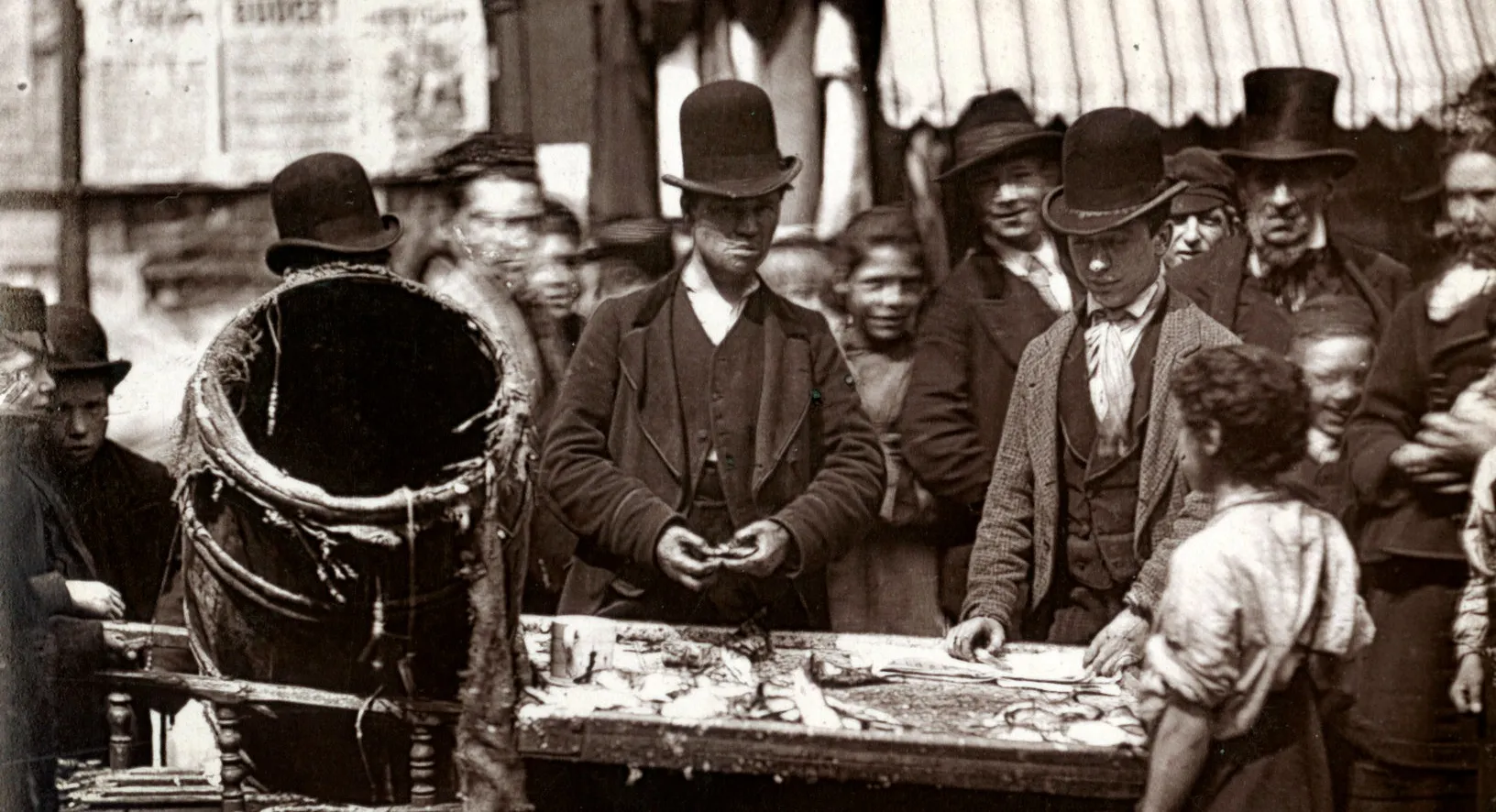
St George's-in-the-East, nd.
BOOTH/B/35, pp. 185–200
Blank pages^N. [See also BOOTH/B5 for index of streets contained in this volume]
BOOTH/B/35, pp. 20–22
Old Gravel Lane.
BOOTH/B/35, pp. 24–25
Worcester Street.
BOOTH/B/35, pp. 26–28
Broad Street.
BOOTH/B/35, pp. 28–29
Bostock Street.
BOOTH/B/35, pp. 29–30
Chandler Street.
BOOTH/B/35, pp. 31–33
Allsopp's Place, Meeting House Alley.
BOOTH/B/35, pp. 33–35
Calvert Street.
BOOTH/B/35, pp. 35–39
York Place.
BOOTH/B/35, pp. 39–42
Raymond Street.
BOOTH/B/35, pp. 42–45
Bird Street.
BOOTH/B/35, pp. 45–49
Anchor and Hope Alley.
BOOTH/B/35, pp. 49–52
Green Bank.
BOOTH/B/35, pp. 53–54
Choppins Court.
BOOTH/B/35, pp. 54–55
Queen Street.
BOOTH/B/35, pp. 55–57
Hilliards Court.
BOOTH/B/35, pp. 5–6
Cannon Street Road.
BOOTH/B/35, pp. 57–58
Ship Street.
BOOTH/B/35, pp. 58–59
Boarded Entry.
BOOTH/B/35, pp. 59–61
Whitehorn Place.
BOOTH/B/35, pp. 61–62
Gold Street.
BOOTH/B/35, pp. 63–65
Pearl Street.
BOOTH/B/35, pp. 65–66
James Place.
BOOTH/B/35, pp. 67–68
Rygate Street.
BOOTH/B/35, pp. 70–76
Pruson Street.
BOOTH/B/35, pp. 7–13
St Georges Street.
BOOTH/B/35, pp. 77–78
Pruson Street Buildings.
BOOTH/B/35, pp. 78–84
Old Gravel Lane.
BOOTH/B/35, pp. 84–85
York Buildings.
BOOTH/B/35, pp. 86–144
Blank pages.
BOOTH/B/36
1887 Notebook: St George's-in-the-East. School Board Visitors, Miss Martin(District F) Mr Golding (District E), Mr Dwane (District E)
BOOTH/B/360
1899 George E. Arkell and Ernest Aves' Notebook: Police District 2 [Strand and St Giles], District 23 [St Mary Paddington and Kensal Town], District 24 [St John Westminster], District 25 [St Margar...
BOOTH/B/360, p. 1
Blank page.
BOOTH/B/360, p. 10
Sketch map of walk.
BOOTH/B/360, p. 101
Victoria Road, Stanford Road, Kelso place, Stables, Farm Mews, Merton Road, Kingsley Mews.
BOOTH/B/360, p. 103
Eldon Road, Cornwall Mews, Sussex Villas, St. George's Place, Cornwall Gardens, Cornwall Mews West, Cornwall Gardens Stables.
BOOTH/B/360, p. 105
Poor area between Kensington Square and Stanford Road. Cleaning the roads.
BOOTH/B/360, p. 106
Sketch map of walk.
BOOTH/B/360, p. 107
Description of boundaries of walk: on the north Kensington High Street; on the west Earl's Court Road; on the south Lexham Gardens and the workhouses; on the east the railway. Part of the parishes ...
BOOTH/B/360, p. 109
Cedar House, Cheniston Mansions, Abingdon Villas, Emma Place, Mark Terrace, Warwick Street, Abingdon Mansions.
BOOTH/B/360, p. 11
Description of boundaries of walk: on the north Cornwall Road; on the west Clarendon Road; on the south Uxbridge Road, Notting Hill High Street; on the east Pembridge Road, Pembridge Villas, Richmo...
BOOTH/B/360, p. 111
Abingdon Road, Ilchester Mansions, Lion Mews, Allen Street, Wynnstay Gardens, Phillimore Terrace, alma Terrace, Adam and Eve Mews.
BOOTH/B/360, p. 113
Long's Terrace, Leansdale Villas, Marloes Road, Stratford Road.