Search
Use keywords to search across notebook descriptions

Use keywords to search across notebook descriptions
General observations on the district: poor area; industries available for women's work but little available for men; children making grottos; public houses Streets mentioned in walk:
Walk with Inspector Fitzgerald, District 13 [South Hackney and Hackney], 23 July [1897]
General observations of the district.
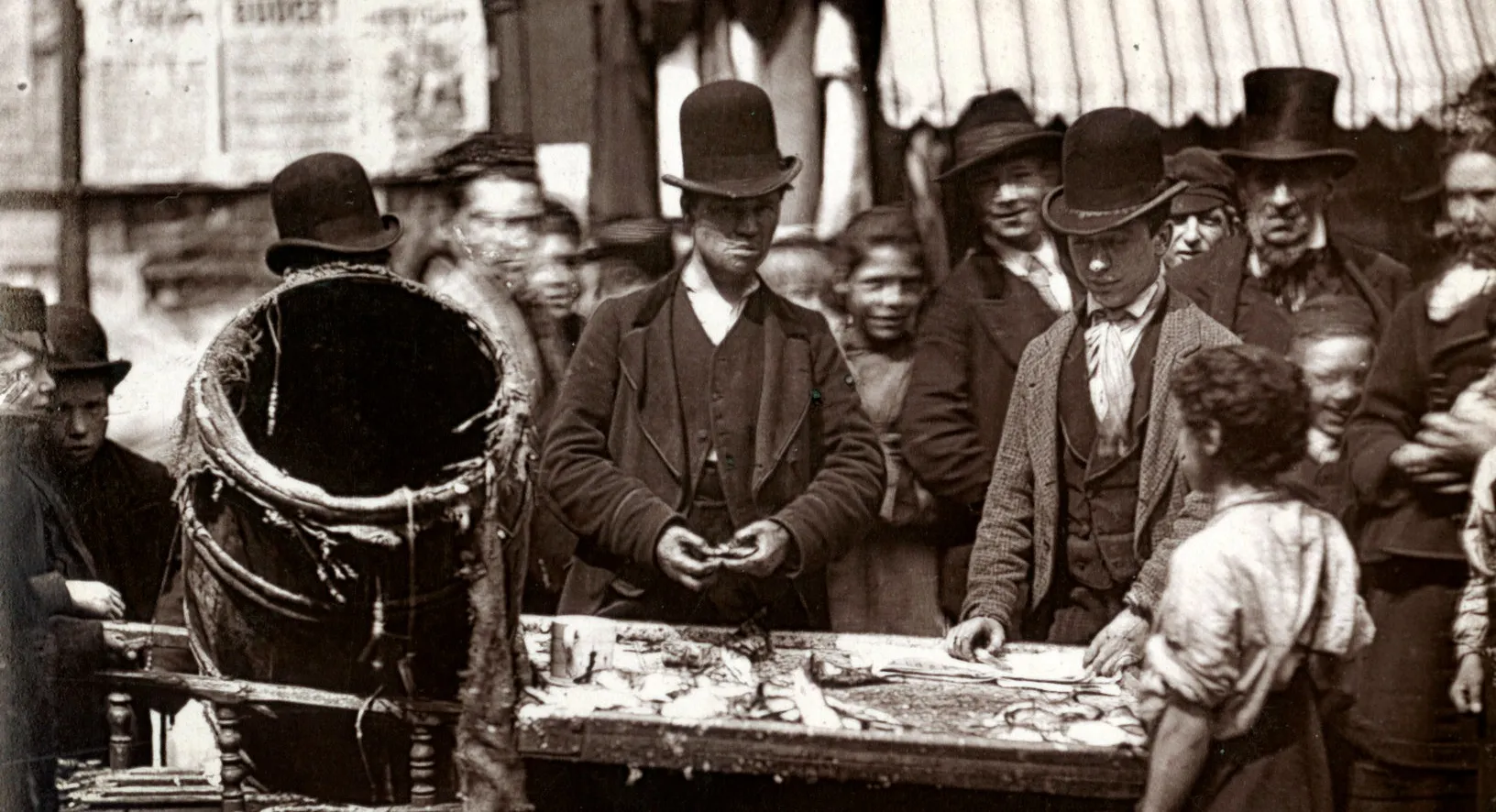
General observations of the Isle of Dogs: few shops or amusements; Millwall Athletic Ground football matches; gambling; no brothels; many public houses; drinking at football matches; allotments on ...
Walk with Inspector Fitzgerald, District 13 [South Hackney and Hackney], 24 July 1897.
General observations of the district including information concerning Jews in the area
Walk with Inspector Fitzgerald, District 13 [South Hackney and Hackney], 26 July 1897 [this walk is continued in BOOTH/B347]
Comment on Reverend Alpe, St Peter's Church, Garford Street.
Walk with Mr Carter, District Inspector of Police, District 12 [Bow and Bromley], 31 May 1897.
Fern Street, Blackthorn Street, Whitethorn Street, Sherwood Street.
Police wounded in block of streets between Gale Street and Furze Street referred to as the Fenian Barracks as Irish inhabitants. Gale Street, Furze Street.
An account of rats living in drains near to a fat refinery on Hawgood Street. Eastward Street, Hawgood Street
Prostitution in Flint Street, East India Dock Road. Flint Street.
General observations on the district: discussion of Fenian Barracks [local name for Furze Street]; Carter's opinion of the Irish; presence of Tallymen, insurance agents and rent collectors in distr...
Walk with Inspector Carter, District 12 [Bow and Bromley], 1 June [1897]
Reputation of Bryant and May match girls.
Walk with Inspector Carter, District 11 [Poplar and Limehouse], 26 May 1897.
Brothels situated in Rich Street, Jamaica Place, Gill Street and the effect of a Vigilance Committee to clean up the area
List of interviewees, address and nature of interview, nd.
1897 George H.Duckworth's Notebook: Police District 13 [South Hackney and Hackney], District 14 [West Hackney and South East Islington] and District 16 [Highbury, Stoke Newington, Stamford Hill]
College Avenue, Lesbia Avenues, Median Road, Portland Place
7 Wall Street is a brothel. Orchard Street, Wall Street, Baxter Road, Norfolk Road.
Beer house on the corner of Baxter Grove and Wall Street which is kept by a woman. Baxter Grove, Ockendon Road, Englefield Road, Church Road.
Crowland Terrace, Oakley Road, Church Road, Southgate Road, Upton Grove, Upton Road, Englefield Road.
Addleigh Road, [Ardleigh Road] Culford Road.
Sketch of houses in Church Road, De Beauvoir Town.
Mortimer Road, De Beauvoir Square, Church Road.
Southgate Grove, Downham Road, Benyon Road, Balmes Road, De Beauvoir Crescent.
Description of Bankstock Buildings. De Beauvoir Road, Bankstock Buildings, Mortimer Road, Hertford Road.
Downham Road, Acton Street, Staten Buildings, Frederick Place.
Markets on Kingsland Road. Kingsland Road, Tottenham Road.
Tottenham Road, Bently Road, [Bentley Road], Tottenham Square.
[De Beauvoir Town] High Street [i.e. De Beauvoir Road?].
Description of boundaries of the walk: on the north Barrett Grove; on the east High Street Stoke Newington; on the west Boleyn Road [St Mark Dalston parish] Kingsland Grove, [Kingsland Passage] Eli...
The Lord Clyde Coffee House Sutton Place is a brothel. Additional streets in this walk:
Frederick Place, Sutton Place, Bradbury Street, Gillett Street, Boleyn Road, John Campbell Road, Castle Street, Wolsey Grove, Shellgrove Road, Millard Road, Hayling Road.
Trumans Road, [Trumans Place] Salcombe Road, Stoke Newington High Street, Barretts Grove, Pellerin Road.
Description of the boundary of the walk: on the south Amhurst Road, Dalston Lane and Clapton Road; on the east Lower Clapton Road and Lea Bridge Road and the Hackney cut; on the north Mount Pleasan...
Description of boundaries of walk: on the north Matthias Road and Green Lanes; on the west Petherton Road; on the south St Pauls Road and Ball's Pond Road [St Jude Mildmay Park parish, St Pauls Bal...
Coach and Horses Passage, Matthias Road, Mayville Street, Woodville Street, [Woodville Road], Woodville Grove, King Henry Street, Arundel Street, Arundel Grove, [Arundel Road] Arragon Terrace, Mild...
King Henry VIII's hunting lodge. Newington Green, Green Lanes, Petherton Road.
Rents in Grosvenor Road. Petherton Road, Leconfield Road, Poet's Road, Ferntower Road, Pyrland Road, Beresford Road, Grosvenor Road, Northampton Park.
Northampton Grove, St Paul's Road, St Paul's Place, Compton Street, Mildmay Street, Mildmay Avenue, Mildmay Park.
Jewish burial ground Kingsbury Road. Mildmay Grove, Wolsey Road, Queen Margaret Grove, St Jude Street, Kingsbury Road, Hawthorn Street Canterbury Road, Stanley Road, Ball's Pond Road